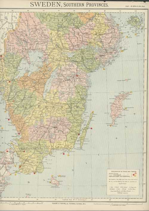
Sweden, Southern Provinces. Mason & Payne Antique Map circa 1880
$60.00
Sweden, Southern Provinces. Mason & Payne Antique Map circa 1880
Original map for Letts’s Popular Atlas of the World published by Mason & Payne of 41, Cornhill, London. This map is printed in colour, and indicates the British Consuls and Vice-Consuls, Important Lights and Lighthouses and the heights of the hills and lakes above the level of the sea, and the depth of the water.
Fragile paper as usual for these maps, with slight tears to external edges, lower right corner missing, and slight foxing. They are still very decorative when framed.
Approx. page size: 440 x 360mm (17.75 x 14 inches). Image: 415 x 325mm (16.25 x 12.75 inches).