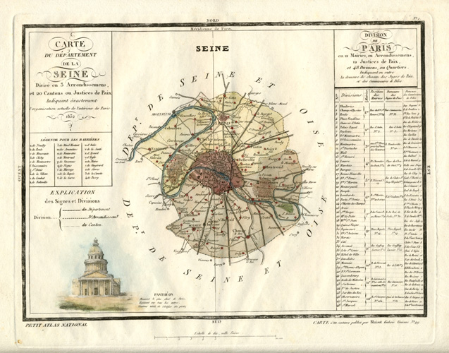
Seine antique map, Paris with arrondisements. Monin 1833
$85.00
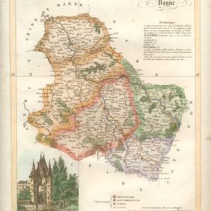
Paris Divisions: Carte du Departement de la Seine, divisé en 5 Arrondissemens et 20 Cantons (Map of the Department of Seine, divided in 5 Arrondissements and 20 Cantons)
Finely engraved map with comprehensive statistics for Charles Monin's Petit Atlas National (Small National Atlas of France), published in Paris by Blaisot c1833 – with later hand colour of central map and vignette of the Panthéon.
This is a lovely map. Unfortunately there is slight soiling, and a repaired tear at the right edge of the map. 23 x 32 cm (10 x 12/5 inches)