Sold
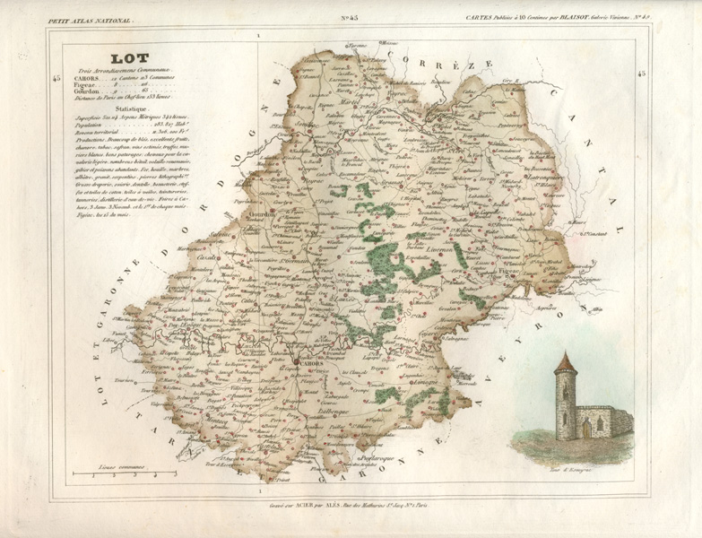
Lot Department, Midi-Pyrenees, France Antique Map. Monin c1833
$80.00
Lot Department, Midi-Pyrénées, with vignette of Tour d'Escayrac, south-west of Cahors. Monin, c1833
Original antique map of French Department of Lot, engraved on steel by Alès for Charles Monin’s atlas Petit Atlas National des 86 Départements de la France et de Colonies (Small National Atlas of the 86 Departments of France and its Colonies) published in Paris by Blaisot circa 1833, with fine geographical detail and statistics of the Department of Lot, and later hand-colour.
To map border measures 18.5 x 23.5cm (7 1/4 x 9 1/4 inches). Map page measures 25 x 30.5 cm (9 7/8 x 12 inches), with wide margins, as published.
Out of stock