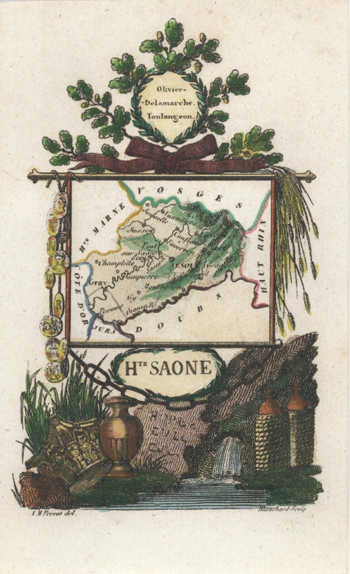
Haute-Saone Carte Ancienne de la Géographie. Perrot France Antique Map c1834.
$120.00
Hte Saone Rare Miniature Carte Ancienne de la Géographie de Departement. Antique Map of Haute Saone in the north-east region of Franche-Comte in France.
Original miniature map engraved on steel by Blanchard from a drawing by Aristede-Michel Perrot. Published in Paris circa 1834 for a series of maps showing the regional produce and industries of France, by finely engraved illustrations surrounding each map.
This lovely little map is currently half-framed – mounted in antique white acid-free archival board and cellophaned for presentation and protection until framed (so the image is not as clear as in reality).
The map size is 15 x 10cm (6 x 4 inches). External mounted size for frame is approximately 28 x 23cm (11 x 9 inches).