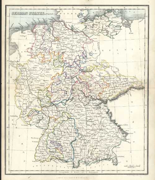
German States. Antique Map by Alex Findlay & W. Tegg c1853
$80.00
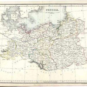
German States. Antique Map of Germany circa 1853 by Alex. Findlay & W. Tegg.
Original finely-detailed Germany antique map, engraved on steel (with contemporary outlining to landmasses and states, and light colour colour to the ocean) by well-known mapmaker, geographer and hydrographer, Alexander Findlay (1812-1875) for his Modern Atlas published in London circa 1853 by William Tegg & Co. Alex Findlay was one of the original Fellows of the Royal Geographical Society in London.
This is obviously from a well-loved publication! "India" written on the reverse in Indian ink (fortunately not showing through to front) and slight soiling to front – not overly detracting from a quite attractive map.
Page Size 300mm x 240mm (11.3/4" x 9.1/2")