Sold
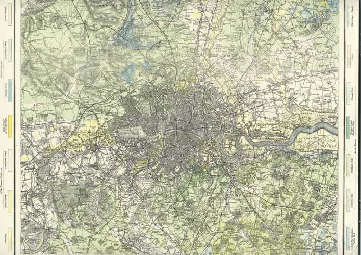
Geological Map of London. Detailed 19th century London map c1885
$200.00
Antique Map of London and its Environs.
Printed in colour circa 1885 by Mason & Payne for Letts's Popular Atlas of the World. Printed on fine paper, its a fascinating map with wonderful detail of the late 19th century.
Page size is approximately 360 x 435mm (14.1/4" x 17.1/8.")
Out of stock