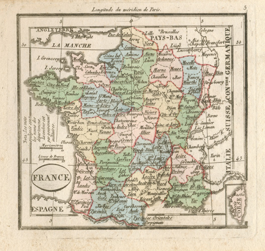
France antique map by Maire. Madame Tardieu-Desnesle c1821
$185.00
Small antique map. France with well delineated regions, showing longitudes from Paris, and with an inset of Corsica, c1821.
Original steel-engraved map by geographer Maire for Petit Atlas de toutes les parties du monde (Pocklet Atlas of all parts of the world) published by Madame Henri Tardieu-Desnesle in Paris circa 1821, with contemporary hand-colour (from the time of publication).
This is a lovely little map measuring 100 x 105mm (4 x 4.1/8 inches) to the border, with page size 125 x 160mm (approximately 5 x 6.1/4 inches).