Sold
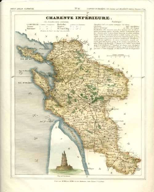
Charente Inferieure, La Rochelle, Poitou-Charente, France Antique Map. Monin c1833
$90.00
Charente Inferieure Carte Ancienne de Geographie de Departement. France Antique Map.
Original steel-engraved map from the Charles Monin atlas: Petit Atlas National des 86 Departements de la France et de Colonies. Published in Paris circa 1833. The chart shows the town of La Rochelle and the surrounding areas, it also lists the statistiques.
There are ample borders to the map, as published.
Size of map 8 x 10 inches or 20 x 25cm
Out of stock