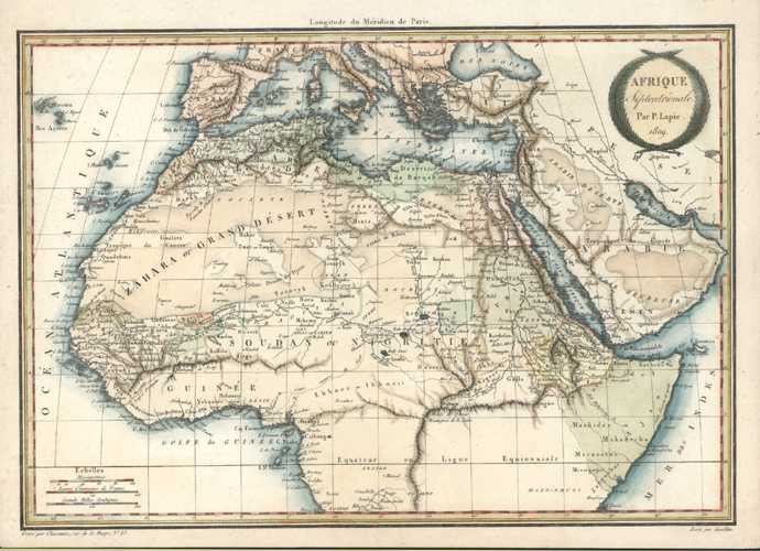
Afrique Septentrionale. North Africa Antique Map by Lapie c1809.
$150.00
Beautiful Antique Map of Northern Africa, with the Mediterranean and Arabia, by Pierre Lapie c1809
Antique map of Africa, drawn by Giraldon and engraved by Chamouin for Pierre Lapie's European atlas, published in Paris circa 1809.
This map would have been published in black and white, as engraved. It has fine later hand-tinting with watercolour which certainly enhances this fascinating map.
Size of page: 24 x 33cm (9.5 x 13 inches).