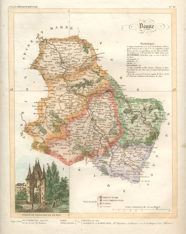
Yonne department of France. Lorrain antique map c1836
$75.00
Antique map of Yonne c1836 in the eastern part of Burgundy, which produces very good wine! Capital: Auxerre.
Hand-coloured original copper-engraved map by A. Lorrain for Department Atlas La France et ses Colonies (France and her Colonies) published in Versailles circa 1836 by Andrieux and Barreswil.
The paper of this map was slightly stretched during printing. Otherwise the map is in relatively good condition except for a soiling spot outside border. Fine later hand-colour. The page measures 265 x 300mm (10 1/2 x 11 3/4 inches). To the intaglio impression (plate mark) measures 215 x 265mm (8 1/2 x 10 1/2 inches).