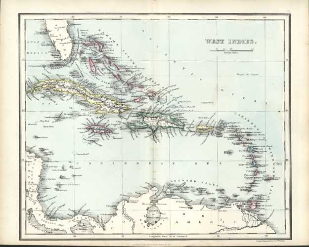
West Indies Antique Map by Alexander Findlay c1853
$85.00
Bahama Islands, Cuba, Haiti, Jamaica, Porto Rico and Caribbean Islands c1853.
This lovely little antique map was drawn and engraved on a steel-plate by English geographer, hydrographer, mapmaker, who also was an accomplished engraver, and even publisher, Alexander George Findlay (1812-1875). With contemporary outlining of landmasses, and colouring of ocean, this map is as published in 1853 by William Tegg & Co. for A Modern Atlas: Forming a Complete Compendium of Geography by Alexander Findlay.
To map border measures 220mm x 265mm (8 5/8 inches x 10 1/2 inches) – with central vertical fold as published to accommodate smaller size of the Atlas.