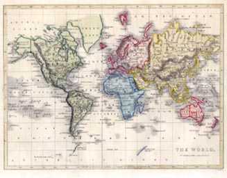
The World on Mercator’s Projection antique map. Hughes c1860
$350.00
Small antique map. Mercator Projection of The World c1860.
A charming original steel-engraved map of the known world published in London circa 1860 for William Hughes' pocket atlas.
With some outline colouring as issued, this map has been further enhanced by later hand-colour.
Map measures 180 x 240mm (7 x 9.5 inches). Page size measure 215 x 280mm (8.5 x 11 inches).