
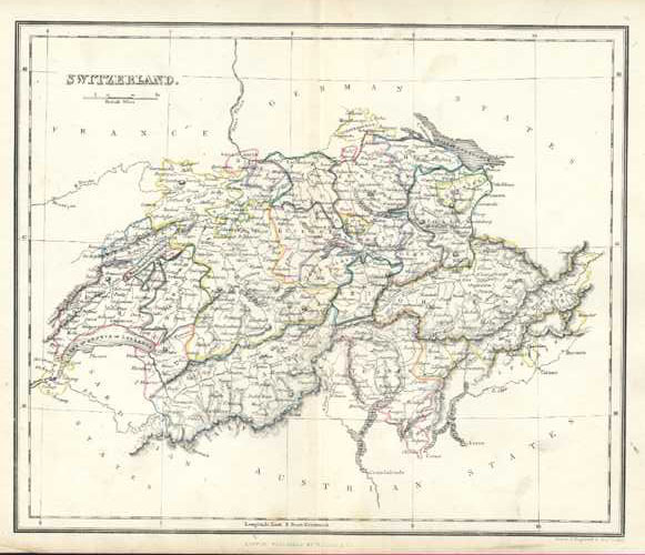
Switzerland Antique Map by Alex Findlay & W. Tegg c1853
$100.00
Switzerland Antique Map by Alex. Findlay & W. Tegg, c1853.
Original map engraved on steel (with contemporary outlining to landmasses, and colour to ocean) by English hydrographer and mapmaker Alexander Findlay for his Modern Atlas published in London circa 1853 by William Tegg & Co.
A nice map from what appears to have been a well-loved publication! "Switzerland" written on the reverse in Indian ink, with a few other ink marks (fortunately not showing through to front), and slight soiling to the map – mainly to the page edges. Priced accordingly.
Page Size is 300 x 240 mm (11.3/4 x 9.1/2 inches). To map border measures 215 x 265mm (8.1/2 x 10.3/8 inches).