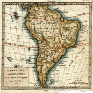
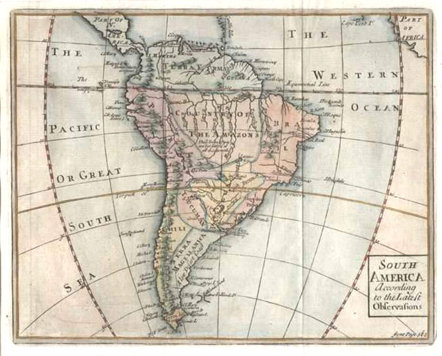
South America According to the Lateft Obfervafions. Senex c1741.
$140.00
South America map with "Country of the Amazons".
Original copperplate engraved map by John Senex, published for the Atlas Geography Anatomised or the Geographical Grammar London circa 1741 by Patrick Gordon M.A.F.R.S. As is usual with Senex maps, the detail is of a very high standard, crisp and clean.
The map has later colour, and is in fair condition with vertical creasing of the very fine paper, to accommodate publication in small edition.
To border, map measures 16 x 20cm (approx. 6.25 x 8 inches). Page size is 20 x 24cm (8 x 9.5 inches).