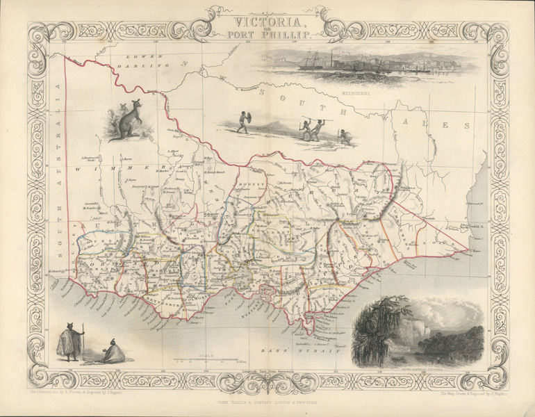
Port Phillip or Victoria Tallis antique map c1851.
$350.00
Finely engraved antique Tallis map of Victoria, or Port Phillip, circa 1851. The Map, Drawn and Engraved by John Rapkin. The Illustrations by A. Warren & Engraved by J. Rogers for John Tallis & Company, London and New York. Contemporary pen outlining of county, state and coast, and light blue wash around coastline. Decorative cartouche, border, and vignettes of Melbourne, River Glenelg Victoria, Kangaroos and Natives.
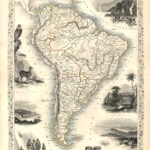
Tallis and Company established an excellent reputation as publishers of high quality books and grand atlases by illustrating them with fine steel engravings. The distinctive Tallis style incorporates decoratively engraved cartouche, borders and vignette scenes relative to the subject or area depicted. Maps included local views, flora, fauna and people.
As principal engraver of maps and prints for Tallis, John Rapkin’s skill was greatly responsible for the Company’s reputation . Illustrations decorating the maps, portraits and views were drawn and then engraved by skilled craftsmen – in reverse from a mirror image. Engraving illustrations was expensive. In 1865 Tallis was among the last of the publishers of beautifully decorated maps and prints.
With generous wide borders, map double-page size is 280 x 365mm (11 x 14 3/8 inches), with central vertical fold as issued for a smaller publication. In very good condition but tiny foxing spot in border at top right, and small water-mark at lower right corner.