Moreton Bay nautical chart. Peel to Russell Island.
$200.00
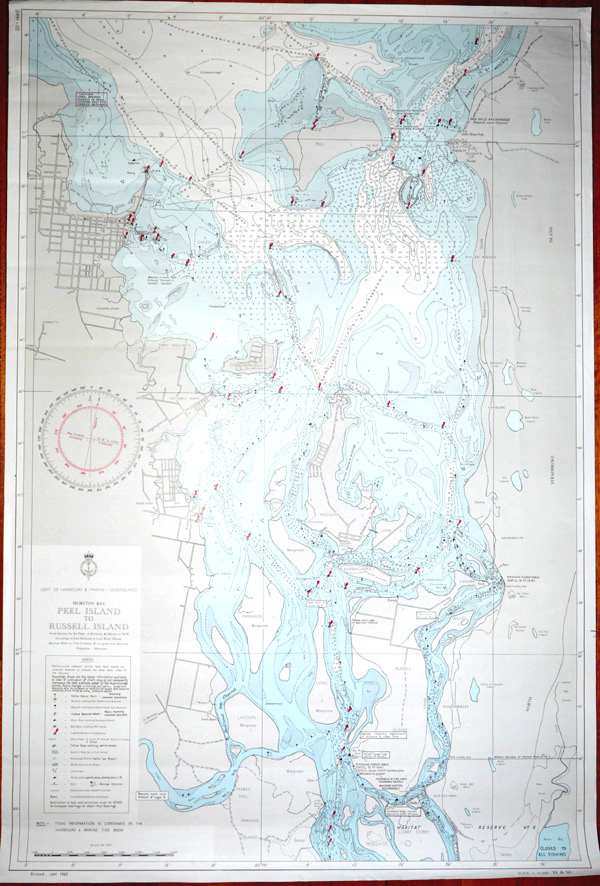
Moreton Bay from Peel Island to Russell Island nautical chart.
Original chart printed by the Department of Harbours & Marine – Queensland. From Surveys by the Department of Harbours & Marine, 1970 (with Revisions to 1982). Soundings in Feet Reduced to Low Water Datum. Bearings Refer to True Compass and are given from Seaward Projection : Mercator.
This chart is in relatively good condtion, with land printed grey and sea pale blue. It has the usual red markings for Beacons or Lighthouses (as published).
Measurement 99 x 67cm (39 x 26 3/8 inches).