Sold
Lot Department, Midi-Pyrenees, France Antique Map. Lorrain c1836
$80.00
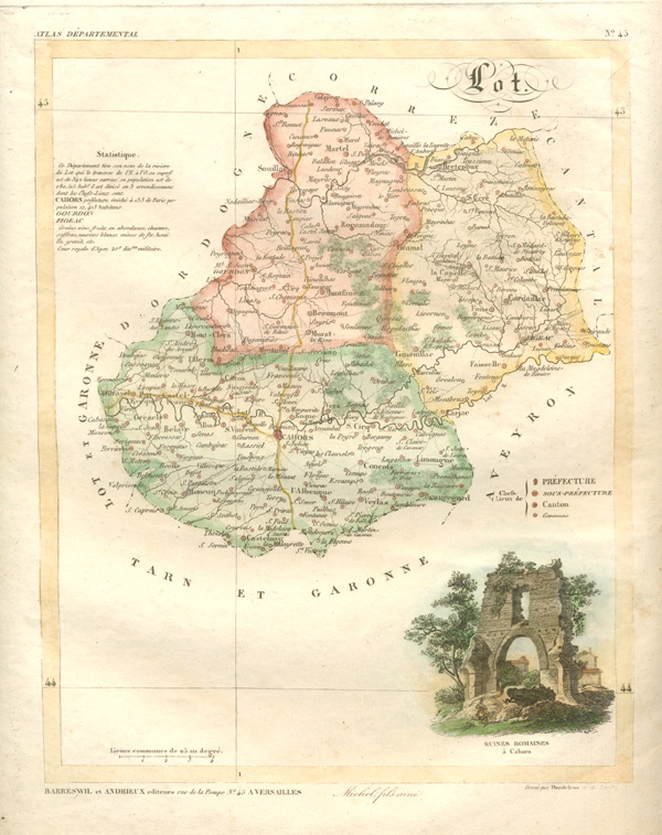
Lot Department antique map, with Roman Ruins at Cahors (Ruines Romaines a Cahors) by A. Lorrain c1836.
Original antique map of Lot Department, engraved by Dandelion for Lorrain's Department Atlas, Atlas D'epartemental, published in Versailles circa 1836 by Andrieux and Barreswil.
The later hand-colouring of this map of France, together with the decorative vignette of what was considered one of the most important landmarks of the region, make this one of the prettiest of the early 19th century maps of France.
To map border measures 24 x 19cm (9 1/2 x 7 1/2 inches). Page size is 31 x 26cm (1 1/4 x 10 1/4 inches).
Out of stock