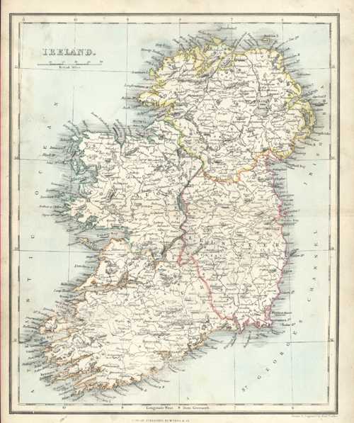
Ireland Antique Map by Alex Findlay & W. Tegg c1853
$120.00
Antique Map of Ireland by Alex. Findlay & W. Tegg, c1853.
Original finely-detailed map engraved on steel (with contemporary outlining to country and counties, and light wash colour to ocean) by well-known mapmaker and respected geographer and hydrographer, Alexander Findlay (1812-1875) for his Modern Atlas published in London circa 1853 by William Tegg & Co. This is a well-loved map, with Ireland written in Indian ink on the back of the map. Fortunately it does not show through to the front!
Page Size 300mm x 240mm (11.75 x 9.5 inches)