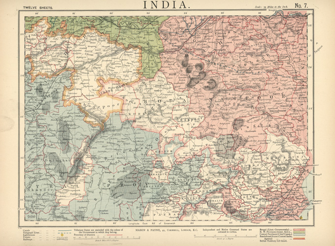
India #7 antique map by Mason & Payne c1887
$80.00
INDIA VII, with Bengal, North West Provinces, Central Provinces, Bandelkand States and British Territories shown, with coloured political divisions surrounded by red pen and geography highlighted by hachures for mountain ranges. Canals, Telegraph Lines, Lighthouses, Forests and Railways are all shown.
Decorative, clearly-notated antique map of India, c1887 by Mason & Payne.
Water mark in left margin and age-discolouration of paper but the map is in good condition. Page measures 355 x 415mm (14 x 16 3/8 inches). The page is complete, with wide margins around the border, as issued.