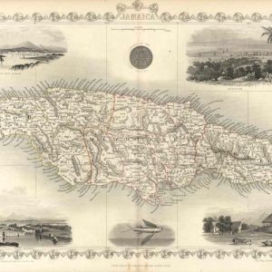
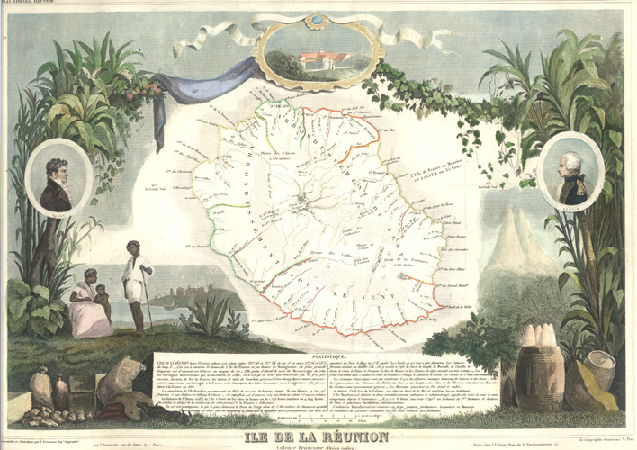
Ile de la Reunion antique map. Levasseur c1854.
$350.00
Beautiful antique map of Ile de la Réunion c1854.
The French Department of Réunion or French Départment d'Outre-Mer de la Réunion, island of the Mascarene Islands in the south Indian Sea off South Africa.
This is probably the most beautiful map of this region. The central map is surrounded by a beautifully engraved narrative of the region, important people (Parny and Bertin), normal mortals in local clothing, and produce and industries of the region with a view of the city on the shoreline and tall mountains – all surrounded by local vegetation and surmounted by cloth-and-vine suspending a beribboned frame enclosing a building.
The statistics and geography are by geographic engineer, Victor Levasseur (1795-1862), with the geography engraved by A. Piat for Levasseur's Atlas National Illustré (Illustrated National Atlas). The map of Reunion is simple enough, but the embellishments of Levasseur maps is what sets them apart. In fact, the distinctive style is what established his reputation as a mapmaker. His was one of the most decorative Atlases ever published.
This map is in fine condition. The outlining of the regions within the island are in contemporary outline colour, but the addition of fine colour to the surrounding engraving has been done at a later date. there is large margin all round, and page size is 35 x 52cm (13 3/4 x 20 1/2 inches).
Out of stock