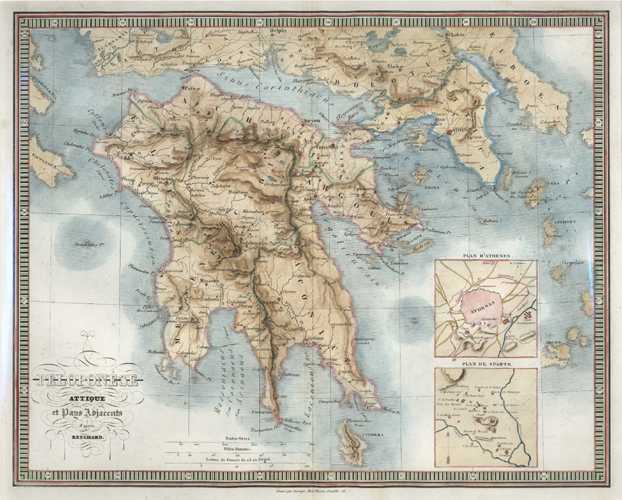
Greece. Peloponese attique et Pays Adjacents. Reichard c1860
$150.00
Peloponése attique et Pays Adjacents d'apres Reichard. Ancient Peloponnese Peninsula and adjacent countries after Christian Gottlieb Theophil Reichara. Inset Plans of Athens and Sparta.
Original antique map engraved by George after the geographical information of German geographer C.G. Reichard. Published in Paris circa 1860 (with later hand-colour).
Engraved map measurement is 350 x 275mm.