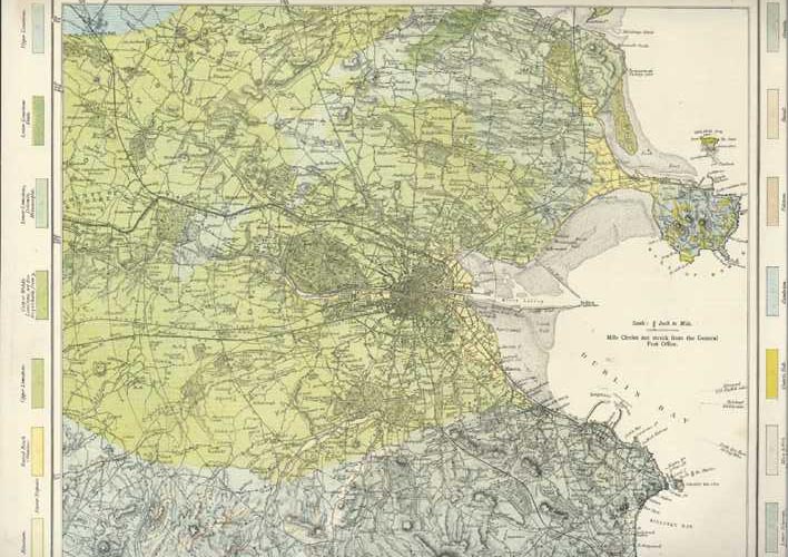
Geological Map of Dublin. 19th century Dublin Geological Map c1885
$180.00
Large Dublin Antique Map. Geological map of Dublin and its Environs.
This map was printed in colour circa 1885 by Mason & Payne for "Letts's Popular Atlas of the World".
Thomas Letts took over the family owned publishing company in 1835 and was joined by his son Charles in 1870, when the Limited company of Letts, Son & Co. was set up. Letts, Son & Co was liquidated in 1885, and Mason & Payne took over the business.
Printed on fine paper, the page size is approximately 36 x 44cm (14" x 17.1/4"), and has some small edge tears (as to be expected), with some fine repairs with archival tape. Unfortunately the map is too large for our scanner. If you would like further images of any part of the map, please let us know.