Sold
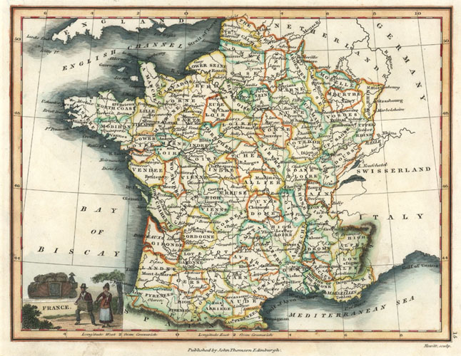
France decorative Antique Map of French departments. John Thomson c1824.
$200.00
France Antique Map with decorative cartouche (title piece), and showing all the regions of France.
Original copperplate engraved map by Wyld Hewitt and published in Edinburgh by John Thomson & Co. circa 1824 for the revised edition of "A New General Atlas of the World" (first published between 1814 and 1819). Contemporary hand-coloured outlining of the departments of France, super later hand-colour of the coastline and cartouche.
The map is currently mounted in antique white acid-free archival board ready for framing, and covered with cellophane for protective handling. Approximate size of engraved map is 23 x 28 cm (9 x 11 inches). External size of the mounted map is 33 x 39 cm (13 x 15.5 inches).
Out of stock