Sold
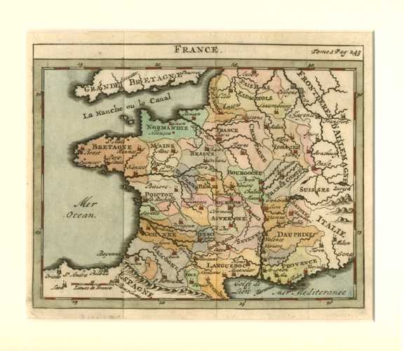
France antique map of regions. Small map by Chatelain c1729
$200.00
French regions well delineated in a map by De l'Isle published by Chatelain.
Original copperplate engraved map of the regions of France by French cartographer Guillaume DeLisle (1675-1726) for the pocket "Atlas la Science" published in Amsterdam circa 1729 by Zacharie Chatelain.
The map is currently mounted in antique white acid-free archival board and cellophaned for protection.
Size of map 18 x 20cm (7 x 8 inches). External mounted size is 33 x 36cm (13 x 14 inches).
Out of stock