Sold
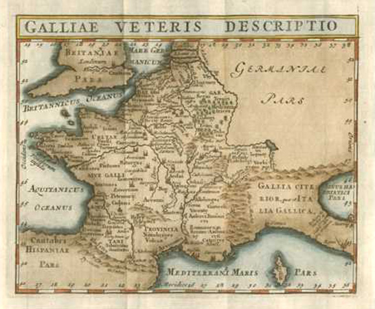
France accurately drawn c1701. Galliae Veteris Descriptio. Cluver-Bertius c1701
$200.00
France accurately drawn: Galliae Veteris Descriptio Antique Map by Cluver c1701, after Bertius.
Original copperplate engraved map by Petrus Bertius from the 1701 edition of Phillipi Cluverii's atlas "Introductionis in Universam Geographiam", first published circa 1665. This map has faded later hand-colour, complementary to the style of the map. It is currently mounted in antique white acid-free archival board and cellophaned for protection.
Approximate Sizes: Map 13 x 15cm (5 x 6 inches). Mounted size 265 x 305mm (11.5 x 12 inches).
Out of stock