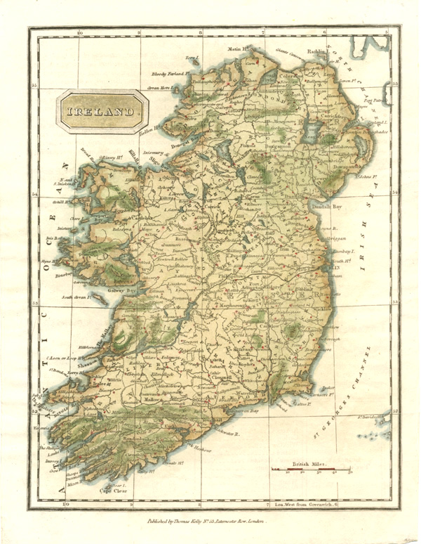
Finely detailed Ireland antique map. Thomas Kelly c1830.
$250.00
Wonderful antique map of Ireland by Thomas Kelly c1830.
Original finely-detailed map of Ireland published in London circa 1830 by Thomas Kelly of Paternoster Row. This map would have been published uncolouored. The superb later-hand-colour superbly shows the geographical detail and locations on this map and certainly adds to the decorative appeal.
To its border the map measures 7 1/4 inches x 9 3/8 inches (235mm x 180mm). The page size is 270 x 205mm (10 5/8 x 8 inches). There is slight rippling of the paper, particularly on the left edge, but the paper is good quality, thick and hand-made.