Sold
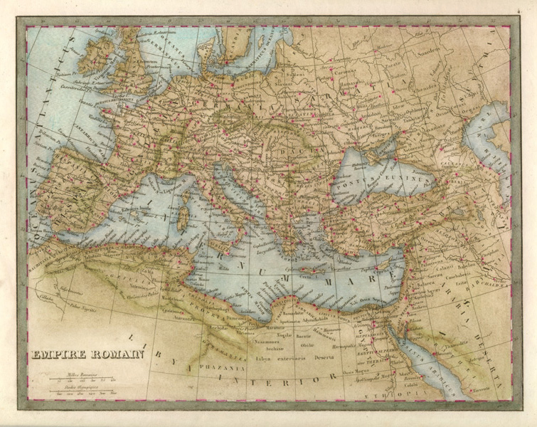
Empire Romain. Roman Empire antique map by Monin, c1838.
$180.00
Antique map of Roman Empire through Britain, Europe and beyond – from Britain to Scythia, Scandia to Phazania and Ethiopia and the Arabia Deserta.
Orgiinal map engraved on steel c1838 for Charles Monin, who published maps in France from 1828 to 1878. This is an interesting map with much detail and Roman sites marked with early names. This map was published with contemporary pen highlighting of the important centres. It has additional fine later hand-colour which certainly adds to its appeal.
To its border, the map measures 192 x 246mm (7 1/2 x 9 3/4 inches). Page size is 250 x 310mm (approximately 9 3/4 x 12 1/4 inches). This map has some soiling, but otherwise is in good condition.
Out of stock