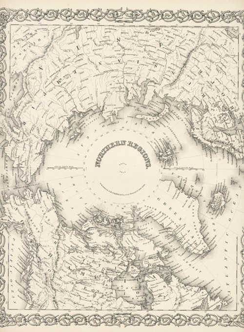
Colton antique map of North Pole. Northern Regions c1868.
$140.00
Interesting North Pole antique map c1868 by Alvin Jewett Johnson in the decorative Colton style.
J.H. Colton was the first generation of an eminent map publishing family in New York in the 1830's. His sons George Woolworth Colton and Charles B. Colton took over the operation in the 1850's. George Woolwrth Colton was responsible for developing the decorative border format that greatly increased the popularity of their maps. In 1859 the Colton map plates were sold to Alvin Jewitt Johnson who, with a series of different partners published the "Johnson Family Atlas" in the Colton's signature style until 1885.