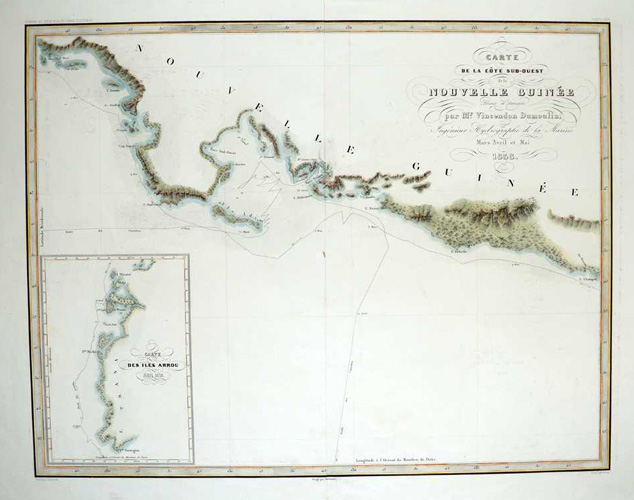
Carte de la cote sud-ouest de Nouvelle Guinée c1838..
$395.00
Chart of coast south-west of Papua New Guinea, and the Arrou Islands in Malaysia. Carte de la Cote sud-ouest de la Nouvelle Guinée par Mr. Vincendon Dumoulin. Ingenieur Hydrographie de la Marine. Mars Avril et Mai 1838 – with Inset of Carte des Iles Arrou.
Original copperplate engraving by Clément Adrien Vincendon-Dumoulin (1811-1858), engineer hydrographer of the Navy, who accompanied Dumont D’Urville in the Astrolabe between 1837 and 1840 on his expedition to the southern seas of the Pacific and Antarctica.
This is superb map on good thick paper with later fine highlighting of the coastline with watercolour. 40 x 46cm (18 x 23.5 inches).