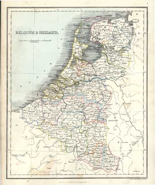
Belgium & Holland Antique Map by Alex Findlay & W. Tegg c1853
$80.00
Small antique map of Belgium and Holland by Alex. Findlay & W. Tegg.
Original map engraved on steel (with contemporary outlining to landmasses, and colour to ocean) by hydrographer-mapmaker, Alexander Findlay for his “Modern Atlas” published in London circa 1853 by William Tegg & Co.
Page Size 300 x 240mm (11.75 x 9.5 inches)