Sold
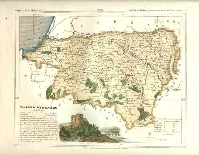
Basses Pyrenees, Pyrenees Atlantiques, France Antique Map. Monin c1833
$90.00
Basses Pyrenees. Carte Ancienne de Geographie de Departement. Charles Monin c1833.
Antique Map of Pyrenees Atlantiques Department of France with the wine region of Jurancon.
Original map engraved on steel for the Monin atlas "Petit Atlas National des 86 Departements de la France et de Colonies" (Small Atlas of the 86 Departments of France and its Colonies) published in Paris by Blaisot, circa 1833.
This finely-engraved map of Basses Pyrenees has a small view of the Chateau of Pau, and lists the statistics of the region. An interesting and decorative map with (later) hand-colour.
Size of map 20 x 25cm (8 x 10 inches), with ample borders to the map, as published.
Out of stock