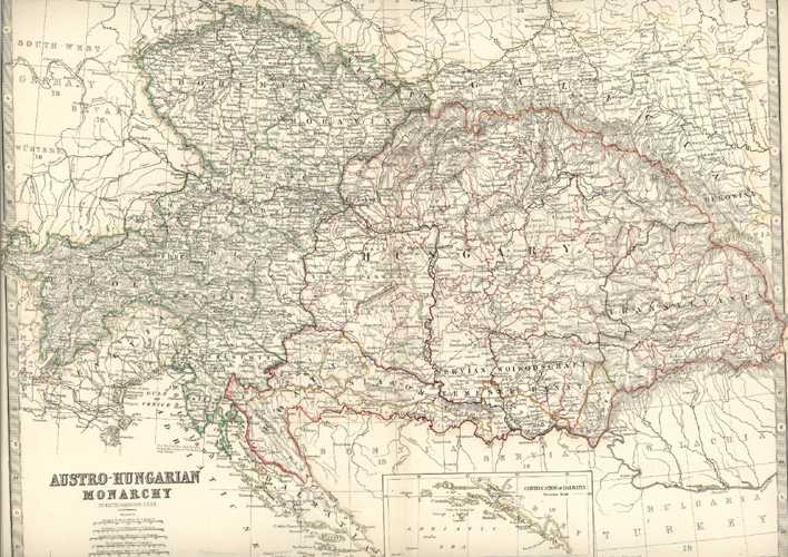
Austro-Hungarian Monarchy by Keith Johnston. Inset, Continuation of Dalmatia c1873
$160.00
Austro-Hungarian Monarchy by Keith Johnston F.R.S.E. with Inset Continuation of Dalmatia (and 5 scales of measurement) and including Bohemia, Silesia, Moravia, Galicia, Tyrol, Croatia, Slavonia, Transylvania..) for Keith Johnston's "The Handy Royal Atlas of Modern Geography " published circa 1873 by William Blackwood & Sons, Edinburgh & London.
This wonderfully detailed map has contemporary outlining of Austrian regions in green, and Hungarian regions in red. Map extends over the border which measures 325 x 425mm (11.75 x 16.75 inches). Page size is 37 x 46cm (14.5 x 18 inches).