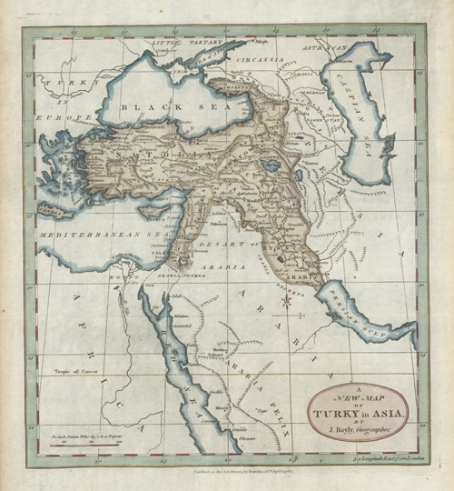
A New Map of Turky in Asia by J. Bayly, Geographer c1782.
$90.00
Anatolia. Turkey antique map published by Harrison & Co. in 1782.
Original copperplate-engraved map by leading London engraver and printer, John Abraham Bayly (fl. 1755-1794), for the “Geographical Magazine: or, a New and Complete System of Geography”' published as the Act directs, in London circa 1782 by Harrison & Company for William Frederick Martyn.
This map has fine later hand-colour, that gives focus to this very interesting region and its history. In fine condition, with wide borders, approximate measurements are 265 x 240mm (10.5 x 9.5 inches) to the intaglio impression, and the page measures 360 x 260mm (14.25 x 10.25 inches).